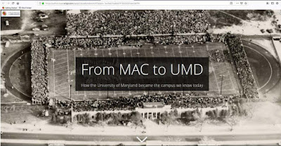
The University of Maryland Archives posted a wonderful new online resource, From MAC to UMD, that presents the "...development of the UMD campus from its earliest days as the Maryland Agricultural College to the present."


Burke used ArcGIS, a geographic information software owned by Esri, to create the UMD Story Map.

Maryland Agricultural College in College Park, MD was initially chartered in 1856. The institution was beset with financial difficulties after the Civil War and the State of Maryland acquired one-half ownership in 1866 and then assumed full state control in 1916. It was renamed Maryland State College and became part of the University of Maryland in 1920.
No comments:
Post a Comment